Mount Towinhingy
| Elevation | 965 metres |
| Prominence | 178 metres |
| Location | -32.8561, 150.1866 |
| Region | Wollemi |
| Points | 6 |
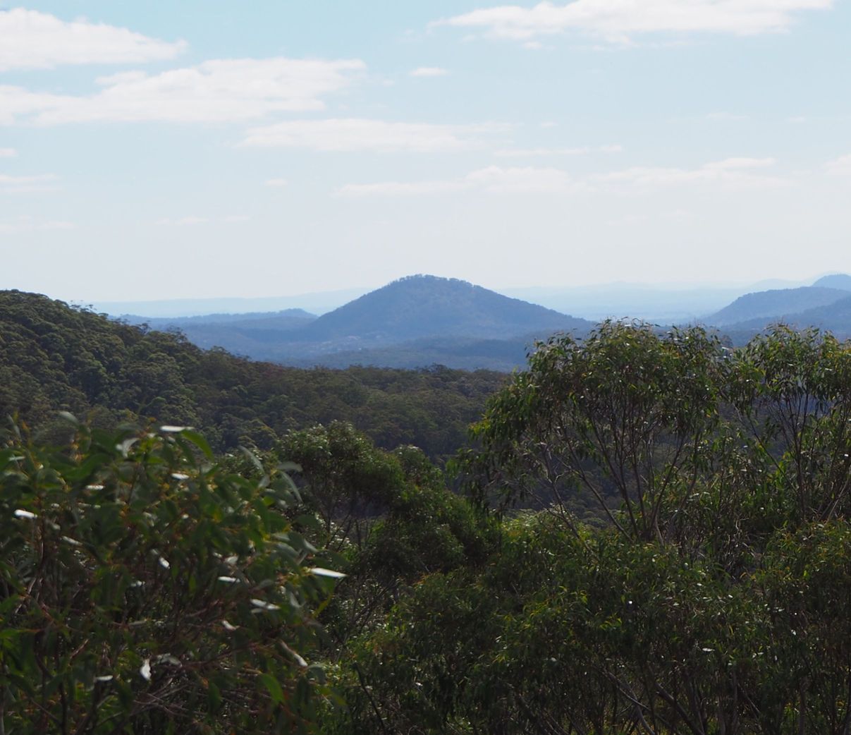
A basalt mountain at the entrance to Wollemi National Park. Allow 2 hours for the return journey.
Driving directions
From Rylstone, head east along Narango Road. This turns into a dirt road as you near Wollemi National Park. Stop next to the National Park entrance sign, where the flat area around the road widens.
Directions to the summit
1. Navigating the first part is the hardest. There is a wall of rock around the bottom of the mountain. The idea is to walk north around this wall until a way up is found through the rocks. About 20m west of the entrance sign is a narrow gap through the rocks heading north.
2. About 20m into the gap, the ramp switches back west and will take you to the top of the spur. From here, navigation is easy. Keep climbing up the spur till you reach the summit.
3. There is a large open area of rock here.
4. There is a rocky cliff here that gives good views of the Cudgegong Valley to the west.
5. The summit is fairly open and there are good views in all directions. I counted 13 other mountains visible from the summit; including Tayan Pic, Church Mountain, Bin Ben and Mount Darcy.